Administrativní dělení Spojených států amerických
Unijní státy USA jsou členy americké federace, se značnou mírou autonomie. Spojené státy americké tvoří celkem 50 jednotlivých států a federální distrikt Washington, D.C. (District of Columbia). Těchto 51 celků vznikalo různými způsoby.
Pod suverenitu USA patří dále Portoriko, Americké Panenské ostrovy, Guam, Severní Mariany, Americká Samoa a menší odlehlé ostrovy USA.
Původ jednotlivých členských států a federálního distriktu
Samostatnost Spojených států amerických byla vyhlášena v červenci 1776 vzniklými 13 unijními státy na východě současného území USA. V abecedním pořadí to byly tyto státy: Connecticut, Delaware, Georgie, Jižní Karolína, Maryland, Massachusetts, New Hampshire, New Jersey, New York, Pensylvánie, Rhode Island, Severní Karolína a Virginie. Před vyhlášením vzniku unie měly status britských kolonií. Následně byl roku 1791 dodatečně na území věnovaném státy Maryland a Virginie vytvořen Federální distrikt, na jehož území bylo vystavěno nové hlavní město USA, Washington, D.C. Unijní stát Vermont vznikl teprve roku 1777, zprvu jako plně nezávislá Vermontská republika na území, o které vedly spory původní kolonie Provincie New York a Provincie New Hampshire. Další členské státy unie vznikaly dodatečně na územích, která USA získaly vojenskou expanzí, koupěmi či dohodami o hranicích se sousedními státy nebo jako kolonie. Až na několik výjimek vznikl každý z těchto nových států postupným přerozdělováním větších, federální vládou spravovaných, teritorií, na teritoria menší, jimž bylo následně uděleno postavení členského státu USA.
Politika
S výjimkou Nebrasky (která má jednokomorový parlament) mají všechny dvoukomorový parlament, jehož označení se liší stát od státu. Ve 24 státech je označován jako Legislativa (Legislature), zatímco v 19 jako Generální shromáždění (General Assembly), v Massachusetts a New Hampshiru jako Generální dvůr (General Court), zatímco v Severní Dakotě a Oregonu jako Zákonodárné shromáždění (Legislative Assembly). Ten se s výše uvedenou výjimkou skládá ze sněmovny reprezentantů (pro ni se v pěti státech používá označení Shromáždění – Assembly, ve třech pak Sněmovna delegátů – House of Delegates) a senátu. V čele každého státu je guvernér, jenž je zároveň předsedou zdejší vlády. Každý stát má také vlastní ústavu, soudní systém, policii a další orgány. Každý stát také deleguje dva senátory do senátu USA.
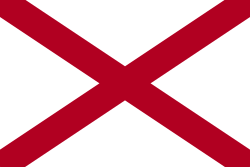
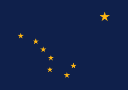
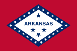
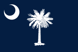
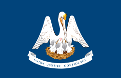
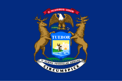
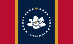
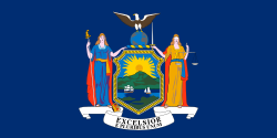
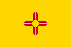
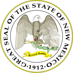
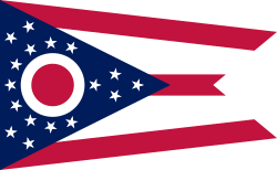
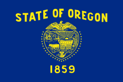
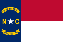
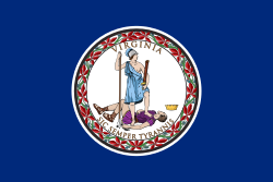
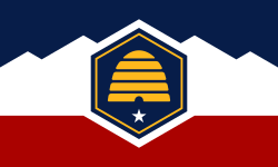
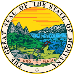
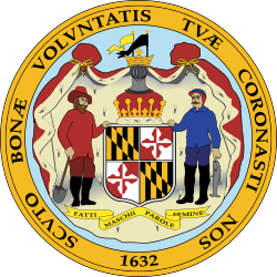
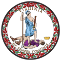
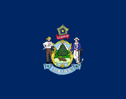
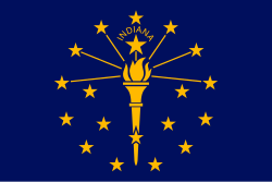
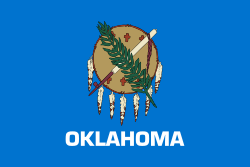
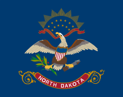
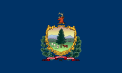
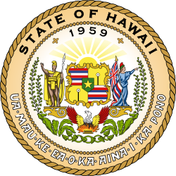
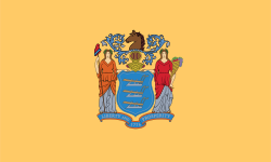
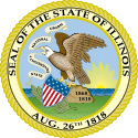
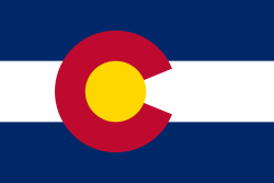
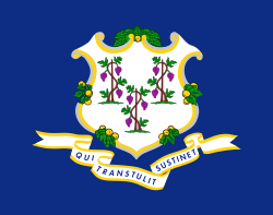
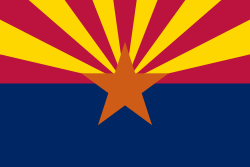
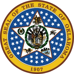
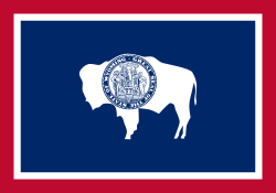
Každý stát používá také vlastní vlajku a pečeť. Na rozdíl od většiny členských států jiných federací zde není příliš rozšířeno užívání vlastního znaku, který většinou nahrazuje pečeť. Některé státy však mají i znak. Naopak je zde obvyklé uzákonění dalších neobvyklých symbolů, jako je státní květina, státní zvíře apod.
Seznam států USA
Seznam členských států USA, včetně jejich tradičních zkratek, hlavních měst a měst s největším počtem obyvatelstva:
Odkazy
Související články
- Seznam mott států Spojených států amerických
- Přezdívky států Spojených států amerických
- Seznam pečetí států Spojených států amerických
- Seznam vlajek států Spojených států amerických
Externí odkazy
 Obrázky, zvuky či videa k tématu administrativní dělení Spojených států amerických na Wikimedia Commons
 - (anglicky) StateMaster Archivováno 16. 5. 2008 na Wayback Machine. – statistický server specializovaný na státy USA s více než stovkou různých žebříčků
Média použitá na této stránce
Flag of California. This version is designed to accurately depict the standard print of the bear as well as adhere to the official flag code regarding the size, position and proportion of the bear, the colors of the flag, and the position and size of the star.
Autor: Rocky Vaughn, Sue Anna Joe, Dominique Pugh, Clay Moss, Kara Giles, Micah Whitson and the Mississippi Department of Archives and History, Licence: Copyrighted free use
The flag of the U.S. state of Mississippi - aspect ratio of 5:3. Designed in 2020 and adopted in 2021, the "New Magnolia" flag was selected by the Commission to Redesign the Mississippi state flag in 2020.
Flag of Oregon (obverse): The flag was adopted by the state on February 26, 1925.[1] The state seal was decided in 1903.[2][3]
Autor: Martin23230, Licence: CC BY-SA 3.0
Orthographic map of the Americas with national borders added
The flag of Utah (2024-present). This is the final design submitted for consideration to be adopted as a new state flag of Utah. The design evokes images of snowy mountains and red rocks to represent the geography of Utah, the beehive represents "Industry" (the state's slogan) and Utah's nickname as "the Beehive State".
Autor: This version: uploader
Base versions this one is derived from: originally created by en:User:Wapcaplet, Licence: CC BY 2.0
Map of USA with Kansas highlighted
Autor: This version: uploader
Base versions this one is derived from: originally created by en:User:Wapcaplet, Licence: CC BY 2.0
Map of USA with Utah highlighted
The state seal of Virginia. Sic semper tyrannis is Latin for Thus always to tyrants. The current design was originally sculpted for the Commonwealth of Virginia by Charles Keck in 1931, in turn based off the 1776 description authored by George Wythe and George Mason. Colors were assigned in 1949 by members of the Art Commission of Virginia.
Idaho's State Seal
Older version of the state Seal of Ohio; in use from 1967 - 1996. In 1996, the number of rays was reduced to 13.
Seal of the Governor of Wyoming
West Virginia State Seal
Autor: This version: uploader
Base versions this one is derived from: originally created by en:User:Wapcaplet, Licence: CC BY 2.0
Map of USA with Iowa highlighted
Autor: This version: uploader
Base versions this one is derived from: originally created by en:User:Wapcaplet, Licence: CC BY 2.0
Map of USA with Nebraska highlighted
Autor: This version: uploader
Base versions this one is derived from: originally created by en:User:Wapcaplet, Licence: CC BY 2.0
Map of U.S. with Montana highlighted
Autor: This version: uploader
Base versions this one is derived from: originally created by en:User:Wapcaplet, Licence: CC BY 2.0
Map of USA with Hawaii highlighted
Great Seal of North Dakota, designed in 1987 by Lili Stewart.
Autor: This version: uploader
Base versions this one is derived from: originally created by en:User:Wapcaplet, Licence: CC BY 2.0
Map of USA with Minnesota highlighted
Autor: This version: uploader
Base versions this one is derived from: originally created by en:User:Wapcaplet, Licence: CC BY 2.0
Map of USA with South Carolina highlighted
Autor: Stoops Lugo, Licence: CC0
"The east is represented by a rising sun, in the right-hand corner of the seal; to the left of it, commerce is represented by a river and a steamboat; in the foreground, agriculture is represented as the basis of the future prosperity of the state, by a settler’s cabin and a man plowing with a pair of horses; beyond this is a train of ox-wagons, going west; in the background is seen a herd of buffalo, retreating, pursued by two Indians, on horseback; around the top is the motto, 'Ad astra per aspera,' and beneath a cluster of thirty-four stars. The circle is surrounded by the words, "Great seal of the state of Kansas. January 29, 1861" - Kansas Legislature on May 25, 1861
The flag of Minnesota, since May 11, 2024.
Autor: This version: uploader
Base versions this one is derived from: originally created by en:User:Wapcaplet, Licence: CC BY 2.0
Map of USA with Rhode Island highlighted
Autor: This version: uploader
Base versions this one is derived from: originally created by en:User:Wapcaplet, Licence: CC BY 2.0
Map of USA with Mississippi highlighted
Autor: This version: uploader
Base versions this one is derived from: originally created by en:User:Wapcaplet, Licence: CC BY 2.0
Map of USA with Oklahoma highlighted
Autor: This version: uploader
Base versions this one is derived from: originally created by en:User:Wapcaplet, Licence: CC BY 2.0
Map of USA with Wisconsin highlighted
Unstandardized Seal of Texas. Note the post oak leaves and the bottom decorations.
Autor: This version: uploader
Base versions this one is derived from: originally created by en:User:Wapcaplet, Licence: CC BY 2.0
Map of USA with Kentucky highlighted
Autor: This version: uploader
Base versions this one is derived from: originally created by en:User:Wapcaplet, Licence: CC BY 2.0
Map of USA with Washington highlighted
Autor: This version: uploader
Base versions this one is derived from: originally created by en:User:Wapcaplet, Licence: CC BY 2.0
Map of USA with Indiana highlighted
Autor: This version: uploader
Base versions this one is derived from: originally created by en:User:Wapcaplet, Licence: CC BY 2.0
Map of USA with Texas highlighted
Autor: This version: uploader
Base versions this one is derived from: originally created by en:User:Wapcaplet, Licence: CC BY 2.0
Map of USA with Ohio highlighted
Autor: This version: uploader
Base versions this one is derived from: originally created by en:User:Wapcaplet, Licence: CC BY 2.0
Map of USA with New Mexico highlighted
Autor: This version: uploader
Base versions this one is derived from: originally created by en:User:Wapcaplet, Licence: CC BY 2.0
Map of USA with West Virginia highlighted
Autor:
The original was edited by Andrew c to include Nova Scotia, PEI, Bahamas, and scale key.
It was originally uploaded to the English Wikipedia with the same title by Wapcaplet:
- 20:57, 9 October 2005 . . Dbenbenn . . 959x593 (339217 bytes) (fix South Carolina label)
- 20:27, 9 October 2005 . . Dbenbenn . . 959x593 (339227 bytes) (typo, Massachussetts -> Massachusetts)
- 19:01, 9 October 2005 . . Dbenbenn . . 959x593 (371653 bytes) (crop, and remove some shapes (rivers, highways, capitals, lakes) that didn't display anyway)
- 13:18, 23 September 2005 . . Ed g2s . . 990x855 (978668 bytes) (fix (removed <image /> tag))
- 23:48, 23 September 2004 . . Wapcaplet . . 0x0 (978926 bytes) (SVG map of the United States. Created by Wapcaplet. {{GFDL} })
A map of the United States, with state names (and Washington D.C.).
Autor: This version: uploader
Base versions this one is derived from: originally created by Wapcaplet, Licence: CC BY 2.0
Locator map of Nevada — in the Western United States.
Great Seal of the State of Kentucky
Seal of Delaware
Autor:
| This media | uploader |
|---|---|
| Original work | en:User:Wapcaplet |
Map of USA with Michigan highlighted
Autor: This version: uploader
Base versions this one is derived from: originally created by en:User:Wapcaplet, Licence: CC BY 2.0
Map of USA with North Carolina highlighted
Autor: This version: uploader
Base versions this one is derived from: originally created by en:User:Wapcaplet, Licence: CC BY 2.0
Map of USA with Illinois highlighted
Autor: This version: uploader
Base versions this one is derived from: originally created by en:User:Wapcaplet, Licence: CC BY 2.0
Map of USA with Wyoming highlighted
Autor: This version: uploader
Base versions this one is derived from: originally created by en:User:Wapcaplet, Licence: CC BY 2.0
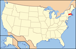
Map of USA with Massachusetts highlighted
Great Seal of the State of Oregon
Autor: This version: uploader
Base versions this one is derived from: originally created by en:User:Wapcaplet, Licence: CC BY 2.0
Map of USA with New Jersey highlighted
Flag of the State of Nevada. The flag is described in Nevada Revised Statutes Chapter 235, Sec. 20 as follows: The body of the flag must be of solid cobalt blue. On the field in the upper left quarter thereof must be two sprays of Sagebrush with the stems crossed at the bottom to form a half wreath. Within the sprays must be a five-pointed silver star with one point up. The word “Nevada” must also be inscribed below the star and above the sprays, in a semicircular pattern with the letters spaced apart in equal increments, in the same style of letters as the words “Battle Born.” Above the wreath, and touching the tips thereof, must be a scroll bearing the words “Battle Born.” The scroll and the word “Nevada” must be golden-yellow. The lettering on the scroll must be black-colored sans serif gothic capital letters.
Autor: This version: uploader
Base versions this one is derived from: originally created by en:User:Wapcaplet, Licence: CC BY 2.0
Map of USA with Georgia highlighted
The Great Seal of the State of Hawaii, in use from 1959 to the present day. Original design approved by Sanford B. Dole, the President of the Republic of Hawaii. Altered in 1901 to represent the change in status from republic to territory. Altered again in 1959 when the Legislature passed Act 272 (Regular Session of 1959).
Autor: This version: uploader
Base versions this one is derived from: originally created by en:User:Wapcaplet, Licence: CC BY 2.0
Map of USA with Louisiana highlighted
Autor: This version: en:User:Huebi
Base versions this one is derived from: originally created by en:User:Wapcaplet, Licence: CC BY 2.0
Map of USA with Florida highlighted
Autor: This version: uploader
Base versions this one is derived from: originally created by en:User:Wapcaplet, Licence: CC BY 2.0
Map of USA with Idaho highlighted
Autor: This version: uploader
Base versions this one is derived from: originally created by en:User:Wapcaplet, Licence: CC BY 2.0
Map of USA with Connecticut highlighted
Autor: This version: uploader
Base versions this one is derived from: originally created by Wapcaplet, Licence: CC BY 2.0
Map of USA with Maryland highlighted
Great Seal of the state of Wisconsin
Autor: This version: uploader
Base versions this one is derived from: originally created by en:User:Wapcaplet, Licence: CC BY 2.0
Map of USA with North Dakota highlighted
Autor: This version: uploader
Base versions this one is derived from: originally created by en:User:Wapcaplet, Licence: CC BY 2.0
Map of USA with Missouri highlighted
ᎡᏩᏐᎾ ᎦᏓᏘ
Seal of Oklahoma.
State Seal of Alaska.


