Blue Hills
| Blue Hills | |
|---|---|
| Vrchol | 49 m n. m. |
| Prominence | 49 m |
| Poznámka | nejvyšší bod Turks a Caicos |
| Poloha | |
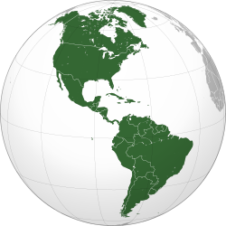
| Světadíl | Amerika |
| Stát | |
| Souřadnice | 21°48′ s. š., 72°17′ z. d. |
| Typ | kopec |
| Některá data mohou pocházet z datové položky. | |
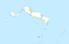
Blue Hills (49 m n. m.) je kopec na ostrově Providenciales v západním Atlantiku. Jedná se o nejvyšší bod britského zámořského území Turks a Caicos.
Reference
V tomto článku byl použit překlad textu z článku Blue Hills, Turks and Caicos Islands na anglické Wikipedii.
Externí odkazy
Média použitá na této stránce
This is a solid red equilateral triangle, which can symbolize or indicate many things, including the the symbol for fire in the books by Franz Bardon.
Flag of the Turks and Caicos Islands
Autor: Martin23230, Licence: CC BY-SA 3.0
Orthographic map of the Americas with national borders added
Autor: Carport, Licence: CC BY-SA 3.0
Location map of the Turks and Caicos Islands


