Mogotón
| Mogotón | |
|---|---|
| Vrchol | 2107 m n. m. |
| Prominence | 1321 m |
| Izolace | 76,5 km |
| Seznamy | Nejvyšší hory amerických zemí |
| Poznámka | nejvyšší hora Nikaraguy |
| Poloha | |
| Světadíl | Amerika |
| Stát | |
| Pohoří | Cordillera Isabelia |
| Souřadnice | 13°45′47″ s. š., 86°23′55″ z. d. |
| Typ | sopka |
| Hornina | vulkanit |
| Některá data mohou pocházet z datové položky. | |
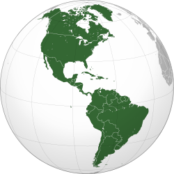
Mogotón (2107 m n. m.) je hora ve vulkanickém pohoří Cordillera Isabelia ve Střední Americe. Leží na státní hranici mezi Nikaraguou (departement Nueva Segovia) a Hondurasem (departement El Paraíso) na území přírodní rezervace Cordillera Dipilto y Jalapa. Jedná se o nejvyšší horu Nikaraguy.
Reference
V tomto článku byl použit překlad textu z článku Pico Mogotón na německé Wikipedii.
Externí odkazy
Média použitá na této stránce
Note: The color selected is «turquoise blue» (the color mentioned in the decree), as defined by Pantone.
This is a solid red equilateral triangle, which can symbolize or indicate many things, including the the symbol for fire in the books by Franz Bardon.
Autor: Martin23230, Licence: CC BY-SA 3.0
Orthographic map of the Americas with national borders added
Autor: Alexrk2, Licence: CC BY-SA 3.0
Physical Location map Nicaragua with Departamentos, Equirectangular projection, N/S stretching 100 %. Geographic limits of the map:


