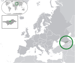
Seznam asijských států
Seznam asijských států obsahuje všechny nezávislé, závislé a neuznané státy a územní celky, které alespoň částečně zasahují na území Asijského kontinentu. Téměř všechny leží větší částí svého území v Asii jedinou výjimkou je Egypt a kromě Egypta a Ruska mají všechny hlavní město položené v Asii (výjimkou mohou být zakavkazské státy Arménie, Ázerbájdžán, Gruzie, Jižní Osetie a Náhorní Karabach, kterými probíhá sporná hranice Evropy a Asie). Celkem se jedná o 49 členských států OSN, 6 částečně uznaných států a 6 závislých území.
Hranice Asie
Hranice Asie s Afrikou je poměrně jasná probíhá nejužším místem Suezské šíje, které se téměř kryje s trasou Suezského průplavu. To znamená, že Sinajský poloostrov je součást Asie, a Egypt tedy zasahuje na asijské území. I přesto, že spolu Asie a Austrálie přímo (na pevnině) nesousedí, hranice mezi nimi je kvůli velikému množství ostrovů poměrně sporná. Ostrov Nová Guinea se obvykle řadí k Oceánii, což znamená, že území Indonésie zasahuje do obou světadílů. Nejspornější hranici má Asie s Evropou. V České republice je nejvíce vyučovaná a uznávaná verze, kdy hranice jde po východním úpatí pohoří Ural, horním toku řeky Ural a po řece Embě do Kaspického moře, odtud Kumomanyčskou sníženinou podél řek Kuma a Manyč až po ústí Manyče do Donu a po něm do Azovského moře. V jiných zemích (podle jiných geografů či politiků) existují jiné verze. Nejspornější je jihovýchodní tedy kavkazská hranice, která se pohybuje od řek Kuma a Manyč až k hranicím Turecka a Íránu. Kvůli tomu se všechny zakavkazské uznané i neuznané státy pohybují mezi Asií a Evropou. Předmětem sporu může být i ostrov Kypr, který je někdy (spíše kvůli kulturním a politickým vazbám) řazen do Evropy, ačkoli z geografického hlediska je zřejmou součástí Asie.
Seznam států
Členské státy OSN
| * | = Státy, které zasahují částí svého území do jiného kontinentu nebo není jednoznačně jasné, na území kterého kontinentu se nacházejí. |
| Vlajka | Mapa | Název státu | Hlavní město | Počet obyvatel | Rozloha |
|---|---|---|---|---|---|
 | Afghánistán | Kábul | 29 835 392 | 647 500 km² | |
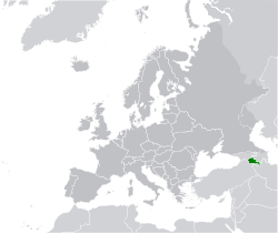
 |  | Arménie | Jerevan | 3 215 800 | 29 743 km² |
 |  | Ázerbájdžán | Baku | 9 165 000 | 86 600 km² |
 |  | Bahrajn | Manáma | 1 234 571 | 665 km² |
 |  | Bangladéš | Dháka | 162 221 000 | 144 000 km² |
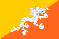
 |  | Bhútán | Thimbú | 682 321 | 47 000 km² |
 |  | Brunej | Bandar Seri Begawan | 370 000 | 5 765 km² |
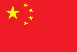
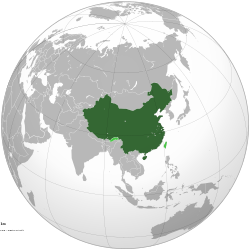
 |  | Čína | Peking | 1 339 724 852 | 9 596 960 km² |
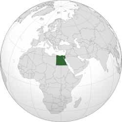
 |  | Egypt | Káhira | 84 550 000 | 1 001 739 km² |
 | Filipíny | Manila | 98 313 622 | 300 000 km² | |
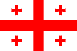
 |  | Gruzie | Tbilisi | 4 630 841 | 69 700 km² |
 |  | Indie | Nové Dillí | 1 210 000 000 | 3 287 590 km² |
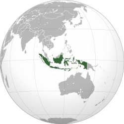
 |  | Indonésie | Jakarta | 231 369 500 | 1 919 440 km² |
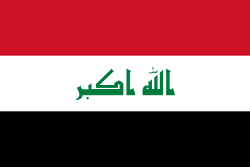
 |  | Irák | Bagdád | 32 847 000 | 438 317 km² |
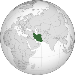
 |  | Írán | Teherán | 71 208 000 | 1 873 959 km² |
 |  | Izrael | Jeruzalém | 8 002 300 | 21 640 km² |
 |  | Japonsko | Tokio | 127 417 244 | 377 835 km² |
 |  | Jemen | Saná | 20 727 063 | 527 970 km² |
 | 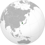 | Jižní Korea | Soul | 48 422 644 | 98 480 km² |
 |  | Jordánsko | Ammán | 6 508 887 | 89 342 km² |
 | 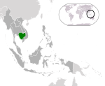 | Kambodža | Phnompenh | 13 607 069 | 181 040 km² |
 | Katar | Dauhá | 1 600 000 | 11 437 km² | |
 |  | Kazachstán | Astana | 16 594 000 | 2 717 300 km² |
 |  | Kuvajt | Kuvajt | 2 335 648 | 17 818 km² |
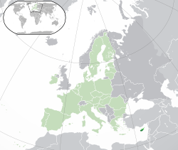
 | 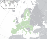 | Kypr | Nikósie | 689 565 | 9 251 km² |
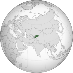
 |  | Kyrgyzstán | Biškek | 5 146 281 | 198 500 km² |
 |  | Laos | Vientiane | 6 477 211 | 236 800 km² |
 |  | Libanon | Bejrút | 3 727 703 | 10 452 km² |
 |  | Malajsie | Kuala Lumpur | 27 700 000 | 329 750 km² |
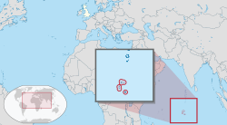
 |  | Maledivy | Male | 349 106 | 298 km² |
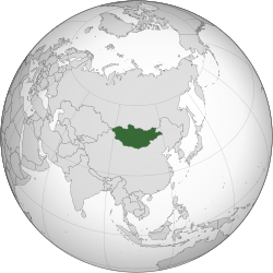
 |  | Mongolsko | Ulánbátar | 2 650 952 | 1 564 116 km² |
 |  | Myanmar (Barma) | Neipyijto | 55 124 000 | 676 578 km² |
 |  | Omán | Maskat | 2 967 717 | 309 500 km² |
 |  | Nepál | Káthmándú | 28 563 377 | 147 181 km² |
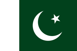
 | 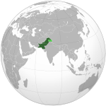 | Pákistán | Islámábád | 204 925 000 | 803 940 km² |
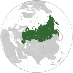
 |  | Rusko | Moskva | 143 200 000 | 17 075 400 km² |
 | 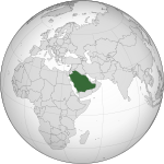 | Saúdská Arábie | Rijád | 26 680 000 | 2 149 690 km² |
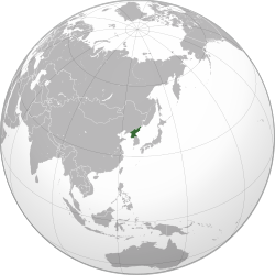
 |  | Severní Korea | Pchjongjang | 22 912 177 | 120 540 km² |
 |  | Singapur | Singapur | 5 312 400 | 710,2 km² |
 | 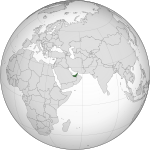 | Spojené arabské emiráty | Abú Dhabí | 8 264 070 | 83 600 km² |
 |  | Srí Lanka | Šrí Džajavardanapura Kotte | 22 409 000 | 65 610 km² |
 |  | Sýrie | Damašek | 22 500 000 | 185 180 km² |
 |  | Tádžikistán | Dušanbe | 7 163 506 | 143 100 km² |
 | 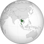 | Thajsko | Bangkok | 65 444 371 | 513 115 km² |
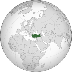
 |  | Turecko | Ankara | 74 724 269 | 780 580 km² |
 |  | Turkmenistán | Ašchabad | 5 110 023 | 488 100 km² |
 |  | Uzbekistán | Taškent | 30 000 000 | 447 400 km² |
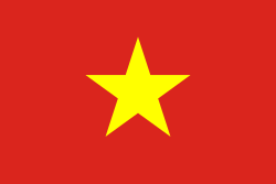
 | 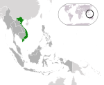 | Vietnam | Hanoj | 90 549 390 | 329 560 km² |
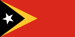
 |  | Východní Timor | Dili | 1 040 880 | 14 609 km² |
Částečně uznané státy
| Vlajka | Mapa | Název státu | Hlavní město | Počet obyvatel | Rozloha |
|---|---|---|---|---|---|
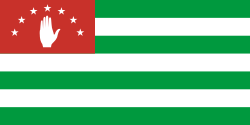
 |  | Abcházie | Suchumi | 240 705 | 8 665 km² |
 | Náhorní Karabach | Stepanakert | 138 000 | 11 458 km² | |
 |  | Palestina | Ramaláh | 5 483 450 | 6 220 km² |
 |  | Severní Kypr | Lefkoşa | 265 100 | 3 355 km² |
 |  | Tchaj-wan | Tchaj-pej | 22 894 384 | 35 980 km² |
 |  | Jižní Osetie | Cchinvali | 70 000 | 3 900 km² |
Závislá území
| Vlajka | Mapa | Název státu | Hlavní město | Počet obyvatel | Rozloha |
|---|---|---|---|---|---|
 |  | Akrotiri a Dekelia | Episkopi | 14 500 | 254 km² |
 | Britské indickooceánské území | žádné | 3 500 | 60 km² | |
 |  | Hongkong | Hongkong | 6 978 000 | 1 103 km² |
 |  | Kokosové ostrovy | West Island | 628 | 14 km² |
 |  | Macao | Macao | 552 000 | 28 km² |
 |  | Vánoční ostrov | Flying Fish Cove | 1 493 | 135 km² |
Média použitá na této stránce
bendera Indonesia
Flag of Iran. The tricolor flag was introduced in 1906, but after the Islamic Revolution of 1979 the Arabic words 'Allahu akbar' ('God is great'), written in the Kufic script of the Qur'an and repeated 22 times, were added to the red and green strips where they border the white central strip and in the middle is the emblem of Iran (which is a stylized Persian alphabet of the Arabic word Allah ("God")).
The official ISIRI standard (translation at FotW) gives two slightly different methods of construction for the flag: a compass-and-straightedge construction used for File:Flag of Iran (official).svg, and a "simplified" construction sheet with rational numbers used for this file.
Flag of Laos
Flag of Maldives. The colours used are Pantone 186 C for red and Pantone 348 C for green.
Při zobrazení tohoto souboru lze snadno přidat orámování
The national flag of Kingdom of Thailand; there are total of 3 colours:
- Red represents the blood spilt to protect Thailand’s independence and often more simply described as representing the nation.
- White represents the religion of Buddhism, the predominant religion of the nation
- Blue represents the monarchy of the nation, which is recognised as the centre of Thai hearts.
Flag of Abkhazia
Flago de la Kokosinsuloj, uzo ne oficiala
Autor: Ksiom, Licence: CC BY-SA 3.0
Orthographic map of South Korea generated by GMT, editted with Inkscape and Adobe Illustrator.
Autor: Atin Bhattacharya, Licence: CC BY-SA 3.0
Location of Pakistan, areas controlled by the government of Pakistan are shown in dark green.
Cambodia (dark green) / ASEAN except Cambodia (dark grey)
Autor: Connormah, Licence: CC BY-SA 3.0
Orthographic Projection of Japan (green).
Autor: Shahid Parvez. Based on a file by User:Ssolbergj, Licence: GFDL
Bangladesh orthographic projection
Autor: en:User:Night w, Licence: CC BY-SA 3.0
Unions, Organizations, Kingdoms, Empires
Autor: Keepscases, perlshaper, Licence: CC BY-SA 3.0
Lokalizace Saúdské Arábie na mapě světa v ortografické projekci
Autor: ASDFGHJ, Licence: CC BY-SA 3.0
Orthographic Projection of Mongolia
Autor: NuclearVacuum, Licence: CC BY-SA 3.0
See also:
Laos (dark green) / ASEAN except Laos (dark grey)
Location of the region of Abkhazia on the map of Eastern Europe.
Autor:
Unions, Organizations, Kingdoms, Empires
Autor: Shahid Parvez, Licence: GFDL
Orthographic projection of Afghanistan
Autor: Eli+ 00:28, 15 January 2012 (UTC), Licence: CC BY-SA 3.0
Orthographic Projection of Lebanon (green)
Autor: Addicted04, Licence: CC BY-SA 3.0
A map of the hemisphere centred on 97, 19, using an orthographic projection, created using gringer's Perl script with Natural Earth Data (1:50000 resolution, simplified to 0.25px). Myanmar is highlighted in red.
Location of Kyrgyzstan
Orthographic Projection Map of the Nagorno-Karabakh Republic. Dark Green represents areas under control of Nagorno-Karabakh Republic after the November 10 agreement.
Asia political map. The continental boundary to Europe follows the mainstream convention along the Urals, the Ural River, and the crest of the Greater Caucasus.
Flag of Abkhazia
Autor: Addicted04, Licence: CC BY-SA 3.0
Orthographic map of Indonesia
Autor: everest700, Licence: CC BY-SA 3.0
A orthographic projection of Oman. Improved since the other one looks weird from its perspective and Eritrea is removed.
Autor:
- (en) World Map
- (pt) Mapa Mundo
- (de) Weltkarte
- (sv) Världskarta
Autor: TUBS
Location of overseas territory xy (see filename) in the United Kingdom.
Flag of Syria. Originally flag of the Syria Revolution (from 2011), de facto flag of Syria beginning December 2024, official beginning March 2025.
Vietnam (dark green) / ASEAN except Vietnam (dark grey)
Autor: User:Connormah, Licence: CC BY-SA 3.0
Location of Sri Lanka.
Autor: L'Américain, Licence: CC BY-SA 3.0
Syria (orthographic projection)
Autor: Connormah, Licence: CC BY-SA 3.0
Orthographic projection of The Philippines, with ASEAN states highlighted.
Autor: Zuanzuanfuwa, Licence: CC BY-SA 3.0
Orthographic map of Thailand.
Autor: Shahid Parvez. Based on a file by User:Ssolbergj, Licence: GFDL
Bhutan orthographic projection
Autor: No machine-readable author provided. Семён Владимирович assumed (based on copyright claims)., Licence: CC BY-SA 3.0
On the globe the Republic of Uzbekistan is highlighted in a dark green color. The file was created in Inkscape.
Autor: Ssolbergj, Licence: CC BY-SA 4.0
The People's Republic of China (green) and its claimed territory (lighter green).
Map of Cyprus with WSBA and ESBA in pink, the traditional colour on maps for British possessions. The map is adapted from the CIA World Factbook map.
Autor:
- Iraq (orthographic projection).svg
- Turkey (orthographic projection).svg: The Emirr
- odvozené dílo: Izzedine
Lokalizace Iráku v rámci světa (ortografická projekce).
Autor: Ssolbergj (talk), Licence: CC BY-SA 3.0
India. Area controlled by India in dark green; claimed but not controlled areas in light green.
Singapore (dark green) / ASEAN except Singapore (dark grey)
Map of Bahrain
Autor: TUBS
Location of XY (see filename) on the globe.
Autor: No machine-readable author provided. Kmusser assumed (based on copyright claims)., Licence: CC BY-SA 2.5
This is a locator map for Christmas Island I made. Alternative image = File:Christmas Island in its region.svg

Autor: Ssolbergj, Licence: CC BY 3.0
Russia on the globe.
Autor: Addicted04, Licence: CC BY-SA 3.0
Orthographic map of Egypt centered at 26° N, 30º E.
Autor: Chipmunkdavis, Licence: CC BY 3.0
Autor: No machine-readable author provided. Kmusser assumed (based on copyright claims)., Licence: CC BY-SA 2.5
This is a locator map for the Cocos (Keeling) Islands I made.
Autor: Sammy Pompon, Licence: CC BY-SA 3.0
I uploaded a orthographic projection modified in MS Paint. I will get a friend to make it transparent.
Autor:
- Georgia (orthographic projection).svg: Izzedine
- Europe Location Georgia uncontrolled highlighted.svg: en:User:Canuckguy, дополнительные изменения: Николай Сидоров (transfered from ru-wiki)
Unions, Organizations, Kingdoms, Empires
Autor: Chipmunkdavis, Licence: CC BY 3.0
Autor: TUBS
Location of XY (see filename) on the globe.


