Seznam evropských států
Seznam evropských států obsahuje všechny nezávislé, závislé a neuznané státy a územní celky, které alespoň částečně zasahují na území evropského kontinentu.
Celkem se jedná o 46 plně nezávislých a mezinárodně uznaných států, 6 částečně uznaných států a 8 závislých území.
Hranice Evropy
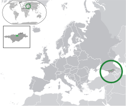
Hranice Evropy s Asií je velice sporná. V České republice je nejvíce[zdroj?] vyučovaná verze, kdy hranice vede po řece Embě do Kaspického moře, odtud Kumomanyčskou sníženinou podél řek Kuma a Manyč až po ústí Manyče do Donu a po něm do Azovského moře, ale v jiných zemích existují jiné verze. Nejspornější je jihovýchodní, tedy kavkazská hranice, která se pohybuje od řek Kuma a Manyč až k hranicím Turecka a Íránu, díky čemuž se všechny zakavkazské uznané i neuznané státy pohybují mezi Asií a Evropou. Taktéž sporný je ostrov Kypr, který je někdy řazen do Evropy a někdy do Asie. Do Evropy zasahuje také několik států, které mají území také v Asii.
I když je podmíněná zeměpisná hranice evropského kontinentu vedena severně od zemí Kavkazu a Kypru, lze je stále podmíněně připsat Evropě na základě dlouhodobých historických, kulturních, politických a ekonomických vazeb s Evropou[1][2].
Seznam evropských států
Nezávislé státy
Na území Evropy zasahuje 50 nezávislých států a leží zde 44 hlavních měst. Při vedení hranice po toku řeky Emba, při pobřeží Kaspického moře a dále podél řek Kuma a Manyč je plně uznaných nezávislých států (tedy bez Kosova) 46. Všechny země kromě Vatikánu jsou členy OSN; všechny země kromě Vatikánu, Běloruska, Kazachstánu a od roku 2022 také Ruska jsou členy Rady Evropy a 27 států je součástí EU.
| = Státy, které zasahují částí svého území do jiného kontinentu nebo není jednoznačně jasné, na území kterého kontinentu se nacházejí. |
| Vlajka | Mapa | Název státu | Hlavní město | Počet obyvatel | Rozloha [km²] |
|---|---|---|---|---|---|
 |  | Albánie | Tirana | 2 793 592 | 28 748 |
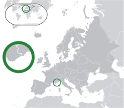
 | 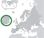 | Andorra | Andorra la Vella | 77 543 | 468 |
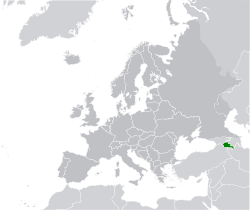
 | 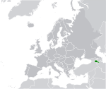 | Arménie | Jerevan | 3 215 800 | 29 743 |
 |  | Ázerbájdžán | Baku | 10 164 464 | 86 600 |
 |  | Belgie | Brusel | 11 697 557 | 30 529 |
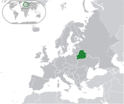
 |  | Bělorusko | Minsk | 9 492 000 | 207 600 |
 |  | Bosna a Hercegovina | Sarajevo | 3 475 000 | 51 197 |
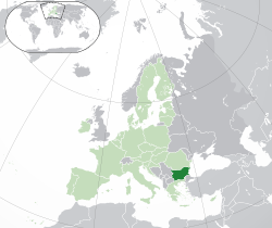
 | 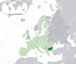 | Bulharsko | Sofie | 6 447 710 | 110 993 |
 | 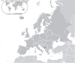 | Černá Hora | Podgorica | 602 445 | 13 812 |
 | 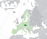 | Česko | Praha | 10 882 235 | 78 867 |
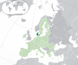
 |  | Dánsko | Kodaň | 5 935 619 | 43 094 |
 |  | Estonsko | Tallinn | 1 365 884 | 45 227 |
 |  | Finsko | Helsinky | 5 631 751 | 338 145 |
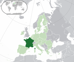
 | 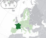 | Francie | Paříž | 68 042 591 | 543 965 |
 | 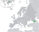 | Gruzie | Tbilisi | 3 713 804 | 69 700 |
 | 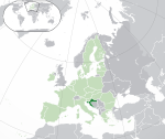 | Chorvatsko | Záhřeb | 3 888 529 | 56 542 |
 | 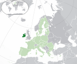 | Irsko | Dublin | 4 977 400 | 70 273 |
 |  | Island | Reykjavík | 372 520 | 103 125 |
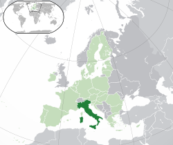
 |  | Itálie | Řím | 58 983 122 | 301 338 |
 | 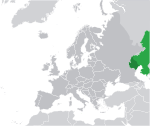 | Kazachstán | Astana | 19 082 467 | 2 717 300 |
 | 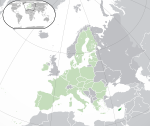 | Kypr | Nikósie | 875 900 | 9 251 |
 |  | Lichtenštejnsko | Vaduz | 38 747 | 160 |
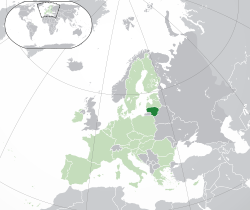
 | 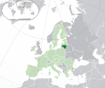 | Litva | Vilnius | 2 867 725 | 65 200 |
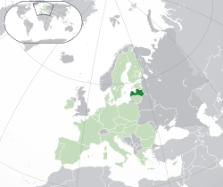
 |  | Lotyšsko | Riga | 1 842 226 | 64 589 |
 |  | Lucembursko | Lucemburk | 660 809 | 2 586 |
 |  | Maďarsko | Budapešť | 9 678 000 | 93 030 |
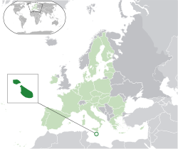
 |  | Malta | Valletta | 514 564 | 316 |
 |  | Moldavsko | Kišiněv | 3 250 532 | 33 843 |
 | 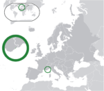 | Monako | Monaco-Ville | 38 350 | 2,04 |
 |  | Německo | Berlín | 84 482 267 | 357 022,9 |
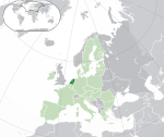 | Nizozemsko | Amsterdam | 17 273 000 | 41 526 | |
 |  | Norsko | Oslo | 5 488 984 | 385 199 |
 |  | Polsko | Varšava | 38 036 118 | 312 679 |
 |  | Portugalsko | Lisabon | 10 467 366 | 92 391 |
 | 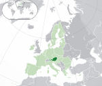 | Rakousko | Vídeň | 9 104 772 | 83 871 |
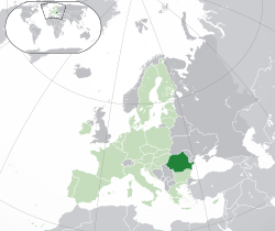
 |  | Rumunsko | Bukurešť | 19 051 562 | 238 391 |
 |  | Rusko | Moskva | 145 911 570 | 17 075 400 |
 |  | Řecko | Atény | 10 482 487 | 131 940 |
 | 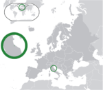 | San Marino | San Marino | 33 607 | 61,19 |
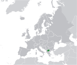
 | Severní Makedonie | Skopje | 1 836 713 | 25 713 | |
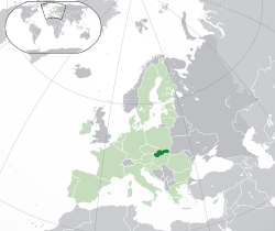
 | 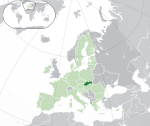 | Slovensko | Bratislava | 5 449 270 | 49 036 |
 |  | Slovinsko | Lublaň | 2 111 161 | 20 273 |
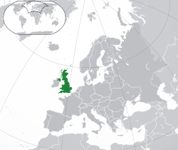
 |  | Spojené království | Londýn | 67 886 011 | 243 610 |
 | Srbsko | Bělehrad | 6 690 887 | 88 361 | |
 |  | Španělsko | Madrid | 48 345 223 | 504 782 |
 |  | Švédsko | Stockholm | 10 449 381 | 449 964 |
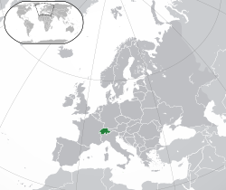
 | 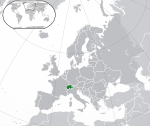 | Švýcarsko | Bern | 8 554 034 | 41 285 |
 |  | Turecko | Ankara | 86 641 080 | 780 580 |
 |  | Ukrajina | Kyjev | 45 134 707 | 603 700 |
 | Vatikán | 618 | 0,44 | ||
Částečně uznané státy
| Vlajka | Mapa | Název státu | Hlavní město | Počet obyvatel | Rozloha [km²] |
|---|---|---|---|---|---|
 | 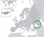 | Abcházie | Suchumi | 240 705 | 8 665 |
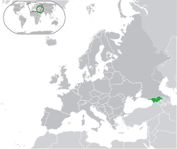
 |  | Jižní Osetie | Cchinvali | 70 000 | 3 900 |
 | 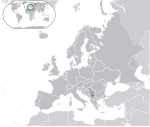 | Kosovo | Priština | 1 907 592 | 10 905,25 |
 |  | Severní Kypr | Lefkoşa | 265 100 | 3 355 |
 | (c) Bogdangiusca, CC BY-SA 3.0 | Podněstří | Tiraspol | 505 153 | 4 163 |
Závislá území
| Vlajka | Mapa | Název závislého území | Správní středisko | Počet obyvatel | Rozloha [km²] |
|---|---|---|---|---|---|
 |  | Akrotiri a Dekelia | Episkopi | 14 501 | 254 |
 | 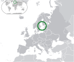 | Alandy | Mariehamn | 29 489 | 1 580 |
 |  | Faerské ostrovy | Tórshavn | 51 371 | 1395,74 |
 | 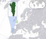 | Gibraltar | Gibraltar | 27 776 | 6,5 |
 |  | Guernsey | Saint Peter Port | 65 228 | 78 |
 | 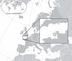 | Jersey | Saint Helier | 91 084 | 116 |
 |  | Man | Douglas | 84 497 | 572 |
 |  | Špicberky a Jan Mayen | Longyearbyen | 2 756 | 62 049 |
Hranice států
Odkazy
Reference
- ↑ Europe Map / Map of Europe - Facts, Geography, History of Europe - Worldatlas.com. WorldAtlas [online]. [cit. 2020-11-11]. Dostupné online. (anglicky)
- ↑ Archivovaná kopie. www.cia.gov [online]. [cit. 2020-11-11]. Dostupné v archivu pořízeném dne 2017-01-08.
Média použitá na této stránce
This is the national flag of Belgium, according to the Official Guide to Belgian Protocol. It has a 13:15 aspect ratio, though it is rarely seen in this ratio.
Its colours are defined as Pantone black, Pantone yellow 115, and Pantone red 032; also given as CMYK 0,0,0,100; 0,8.5,79,0; and 0,94,87,0.Vlajka České republiky. Podoba státní vlajky České republiky je definována zákonem České národní rady č. 3/1993 Sb., o státních symbolech České republiky, přijatým 17. prosince 1992 a který nabyl účinnosti 1. ledna 1993, kdy rozdělením České a Slovenské Federativní republiky vznikla samostatná Česká republika. Vlajka je popsána v § 4 takto: „Státní vlajka České republiky se skládá z horního pruhu bílého a dolního pruhu červeného, mezi něž je vsunut žerďový modrý klín do poloviny délky vlajky. Poměr šířky k její délce je 2 : 3.“
Finská vlajka
Při zobrazení tohoto souboru lze snadno přidat orámování
Zelený pruh má znázorňovat většinové katolické obyvatelsto Irska, oranžový pruh reprezentuje protestantskou menšinu a bílý pruh uprostřed znázorňuje mír a harmonii mezi nimi.
The Flag of Iceland.
- Horizontal aspect ratio: 7:1:2:1:14;
- Vertical aspect ratio: 7:1:2:1:7.
Flag of Liechtenstein
Flag of Portugal, created by Columbano Bordalo Pinheiro (1857–1929), officially adopted by Portuguese government in June 30th 1911 (in use since about November 1910). Color shades matching the RGB values officially reccomended here. (PMS values should be used for direct ink or textile; CMYK for 4-color offset printing on paper; this is an image for screen display, RGB should be used.)
The Flag of Vatican City State, as per the 2023 w:en:Fundamental Law of Vatican City State, reproducing Annex A which contains the official depiction of this version. See 2023 Fundamental Law of Vatican City State, art. 23, n. 1.
This 2023 flag is very similar to the flag used in the 1929 Fundamental Law of Vatican City State, see here, p. 35. Thus, it is in the public domain.
Flag of Abkhazia
Flag of Gibraltar
Autor: NikNaks, Licence: CC BY-SA 4.0
Cropped version of Blank map of Europe.svg, coloured blue.
Autor:
- EU-Blank.svg: Rob984
- Gibraltar map-en.svg: Sting
- Derivative work: Hogweard
Location of Gibraltar
Autor:
Autor:
Autor: NuclearVacuum, Licence: CC BY-SA 3.0
See also:
Autor: NuclearVacuum, Licence: CC BY-SA 3.0
See also:
Autor: Hayden120 and NuclearVacuum, Licence: CC BY-SA 3.0
Autor: NuclearVacuum, Licence: CC BY-SA 3.0
See also:
The Flag of Vatican City State, as per the 2023 w:en:Fundamental Law of Vatican City State, reproducing Annex A which contains the official depiction of this version. See 2023 Fundamental Law of Vatican City State, art. 23, n. 1.
This 2023 flag is very similar to the flag used in the 1929 Fundamental Law of Vatican City State, see here, p. 35. Thus, it is in the public domain.
Autor: Bosonic dressing, Licence: CC BY-SA 3.0
San Marino (dark green) / Europe (dark grey); inspired by and consistent with general country locator maps by User:Vardion, et al
Autor: Ssolbergj, Licence: CC BY-SA 3.0
A blank political map of Europe
Autor: NuclearVacuum, Licence: CC BY-SA 3.0
See also:
Autor: Bosonic dressing, Licence: CC BY-SA 3.0
Vatican City (dark green) / Europe (dark grey); inspired by and consistent with general country locator maps by User:Vardion, et al
Autor: NuclearVacuum, Ssolbergj, Licence: CC BY-SA 3.0
See also:
Autor: NuclearVacuum, Licence: CC BY-SA 3.0
See also:
Autor: NuclearVacuum, Licence: CC BY-SA 3.0
See also:
Autor: NuclearVacuum, Licence: CC BY-SA 3.0
See also:
Liechtenstein (dark green) / Europe (dark grey); inspired by and consistent with general country locator maps by User:Vardion, et al - updated - wider scope, w/ Kosovo
See also:
Autor: Hayden120 and NuclearVacuum, Licence: CC BY-SA 3.0
Autor:
- Location_European_nation_states.svg: Ssolbergj
- derivative work: Arsenikk (talk)
SVG map of Europe with Svalbard highlighted
Autor: NuclearVacuum, Licence: CC BY-SA 3.0
See also:
Autor: Chipmunkdavis, Licence: CC BY-SA 3.0
Autor: Bosonic dressing, Licence: CC BY-SA 3.0
Monaco (dark green) / Europe (dark grey); inspired by and consistent with general country locator maps by User:Vardion, et al
Autor: Bosonic dressing, Licence: CC BY-SA 3.0
Andorra (dark green) / Europe (dark grey); inspired by and consistent with general country locator maps by User:Vardion, et al
Autor: NuclearVacuum, Licence: CC BY-SA 3.0
See also:
Autor: Hayden120 and NuclearVacuum, Licence: CC BY-SA 3.0
Flag of Abkhazia
Autor: NuclearVacuum, Licence: CC BY-SA 3.0
See also:
Autor: Chipmunkdavis, Licence: CC BY 3.0
Autor:
Autor: NuclearVacuum, Licence: CC BY-SA 3.0
See also:
Autor: NuclearVacuum, Licence: CC BY-SA 3.0
See also:
Autor: NuclearVacuum, Licence: CC BY-SA 3.0
See also:
Autor: NuclearVacuum, Licence: CC BY-SA 3.0
See also:
Autor: Fry1989 eh?, Licence: CC0
Flag of the Isle of Mann. This version has the triskelion centered as a whole rather than based upon the imaginary circle created by the prongs of each leg.
Autor: Chipmunkdavis, Licence: CC BY 3.0
Autor:
Autor: NuclearVacuum, Licence: CC BY-SA 3.0
See also:
Autor:
- Europe-Jersey.svg: *Europe-Northern Cyprus.svg: *Europe-Serbia.svg:

- odvozené dílo: Chipmunkdavis
- Jersey Map.svg: Ichwan Palongengi
- derivative work: Chipmunkdavis
- derivative work: Chipmunkdavis
The Full Map of Jersey
Map of Cyprus with WSBA and ESBA in pink, the traditional colour on maps for British possessions. The map is adapted from the CIA World Factbook map.
Autor:
Autor: NuclearVacuum, Licence: CC BY-SA 3.0
See also:
Autor: NuclearVacuum, Licence: CC BY-SA 3.0
See also:
Autor: Saguamundi, Licence: CC BY-SA 3.0
Orthographic Projection Map of Azerbaijan.
Autor: NuclearVacuum, Licence: CC BY-SA 3.0
See also:
Autor: NuclearVacuum, Licence: CC BY-SA 3.0
See also:
Autor:
Autor:
Autor: Rob984, GrandEscogriffe and others, Licence: CC BY-SA 4.0
Locator map of Ukraine in Europe with coloring showing:
Flag of the Pridnestrovian Moldavian Republic (Pridnestrovie, Transdniestria, Transnistria). The flag's reverse omits the hammer and sickle
Autor: Chipmunkdavis, Licence: CC BY 3.0
Autor: Rob984, Licence: CC BY-SA 4.0
Autor: NuclearVacuum, Licence: CC BY-SA 3.0
See also:
Autor: Chipmunkdavis, Licence: CC BY 3.0
Moldova (green) / Transnistria (light green) / Europe (all green & dark grey); inspired by and consistent with general country locator maps by User:Vardion, et al
Autor: NuclearVacuum, Licence: CC BY-SA 3.0
See also:
Autor:
Autor: NuclearVacuum, Licence: CC BY-SA 3.0
See also:
Autor: Chipmunkdavis, Licence: CC BY 3.0
Autor: Chipmunkdavis, Licence: CC BY 3.0
Autor: NuclearVacuum, Licence: CC BY-SA 3.0
See also:
Autor: NuclearVacuum, Licence: CC BY-SA 3.0
See also:
Autor: {{Atoine85}}, Licence: CC BY-SA 3.0
(Green) : Croatia
(Light-green) : The European Union (EU) (Grey) : Europe
(Light grey) : The surrounding region.


