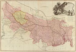
A Map of the Provinces of Delhi, Agrah, Oude, and Ellahabad, comprehending the Countries lying between Delhi, and the Bengal-Provinces, Surveyed by Major James Rennell, Surveyor General to the Honorable East-India Company, and Published by order of the Court of Directors of the said Company. By Andrew Dury, MDCCXXVII.
Shortlink:
Zdroj:
Formát:
6000 x 6198 Pixel (11078039 Bytes)
Popis:
An altogether spectacular wall sized map of those parts of India near Delhi, Agra and Varanasi. Covers from Delhi in the northwest as far east along the Ganges River as Bihar and as far south as Sohagepour. Includes Varanasi (Benares), Lucknow, Gorakhpur and Faizabad among many other important Indian cities. Bounded on the north by the Himalaya Mountains and the border with Tibet and Bhutan. One of the first accurate maps of the interior of India. Laid out from primary surveys done by James Rennell, the first modern cartographer to map the interior of India. Notes cities, markets, battlefields, fortresses, roads, rivers, offers political commentary, and features some geographical references. Elaborate title in the lower left quadrant. Upper right quadrant features a dedication and letter of thanks written by Andrew Dury, the publisher, to the board of the East India Company. This is the first edition of this rare map – 1777 – as published by Dury. Later editions were published by Sayer and Bennet and by Laurie and Whittle.
Komentář k Licence:
|
Toto je věrná fotografická reprodukce původního dvourozměrného uměleckého díla. Ono dílo je samo volným dílem, a to z následujícího důvodu:
Oficiálním stanoviskem nadace Wikimedia Foundation je, že „věrné reprodukce dvourozměrných volných děl jsou také volné a opačná tvrzení jsou útokem na samotný koncept volných děl.“ Podrobnosti naleznete na stránce Commons:When to use the PD-Art tag.
Tato fotografická reprodukce se tedy také považuje za volné dílo. Uvědomte si, že v závislosti na místních zákonech může být další užití tohoto díla ve vaší jurisdikci zakázáno či omezeno. Vizte Commons:Reuse of PD-Art photographs. | ||||
Licence:
Public domain
Credit:
This file was provided to Wikimedia Commons by Geographicus Rare Antique Maps, a specialist dealer in rare maps and other cartography of the 15th, 16th, 17th, 18th and 19th centuries, as part of a cooperation project.
Relevantní obrázky
Relevantní články
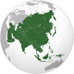
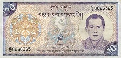
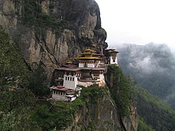
BhútánBhútán, plným názvem Bhútánské království, je vnitrozemský stát v jižní Asii. Leží na východním konci himálajských hor. Na jihu, východě a západě sousedí s Indií, na severu s Tibetskou autonomní oblastí v Čínské lidové republice. Od nedalekého Nepálu je Bhútán oddělen indickým státem Sikkim. Bhútánu se někdy říká „země hřmícího draka“. .. pokračovat ve čtení

