CEM-36-Huguang-2433
Autor:
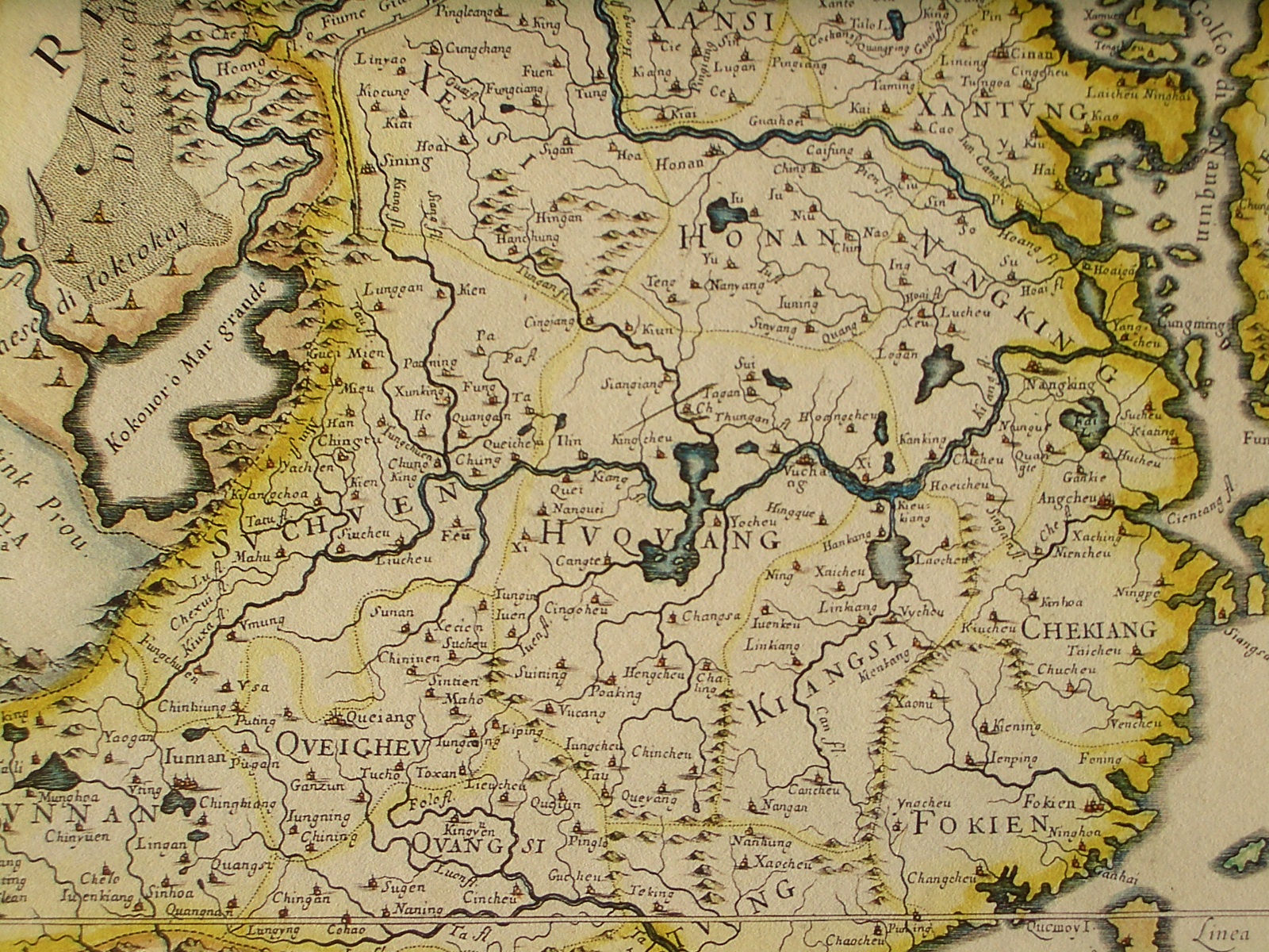
Giacomo Cantelli (1643-1695), Giovanni Giacomo de Rossi (1627-1691)
Shortlink:
Zdroj:
Formát:
1600 x 1200 Pixel (1040791 Bytes)
Popis:
Northeastern fragment of a map of China (in Italian), showing the central China, in particular Huguang (Hunan + Hubei)
Licence:
Public domain
Credit:
An antique map from the Special Collection "China in Maps" of the Hong Kong University of Science and Technology Library, reproduced by the HKUST Library in the book "China in European Maps", Hong Kong, 2003. ISBN 962-86403-9-9.
Sdílet obrázek:


Relevantní obrázky

.jpg)
Relevantní články
Chu-kuangChu-kuang byla čínská provincie existující v říších Jüan, Ming a prvních desetiletí říše Čching. Hlavním městem byl Wu-čchang. .. pokračovat ve čtení