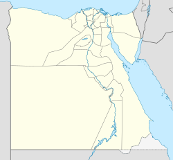
Egypt-region-map-cities
Autor:
- Original: CIA
- Modifications: See File:Egypt-region-map-cities-2.gif
Shortlink:
Zdroj:
Formát:
314 x 374 Pixel (17469 Bytes)
Popis:
Regional map of en:Egypt, with main cities and en:oasis areas labeled, plus scale of miles/km (approximate). The file is in GIF format, 10x times faster than PNG format, for rapid display and to allow precise edits when adding other towns in the future.
Re-labeled to include 6 en:oasis areas, with "en:Giza" and sea-side towns, plus dotted line for en:Tropic of Cancer.
Komentář k Licence:
CIA WFB map
Licence:
Public domain
Relevantní obrázky
Relevantní články
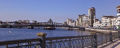
DamiettaDamietta, nebo také Dumját, je přístavem v Egyptě, leží na pobřeží Středozemního moře. Je hlavním městem guvernorátu Dumját. V samotném městě žije 71 429 obyvatel (2005) a v celé aglomeraci více než 1 milion obyvatel. .. pokračovat ve čtení


