Former Yugoslavia Map
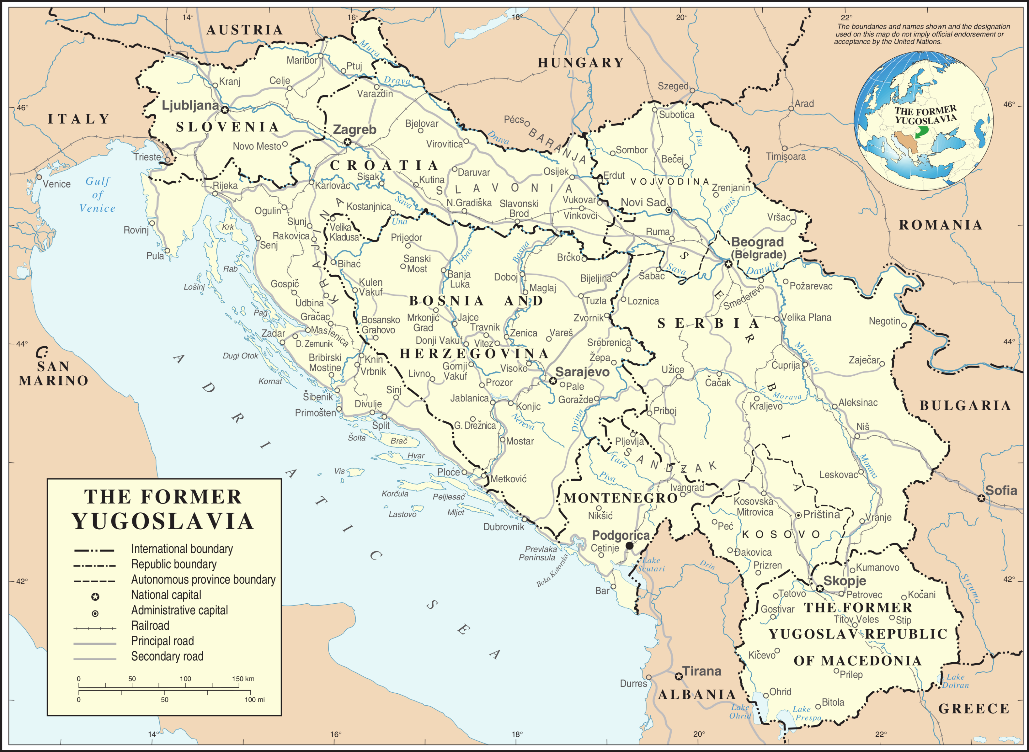
| This image is a map derived from a United Nations map.
Unless stated otherwise, UN maps are to be considered in the public domain. This applies worldwide. UN maps are, in principle, open source material and you can use them in your work or for making your own map. UN requests however that you delete the UN name, logo and reference number upon any modification to the map. Content of your map will be your responsibility. You can state in your publication, if you wish, something like: based on UN map … (map name, map number, revision number and date). See: Geospatial Information Section. And: Geospatial, location data for a better world. |
 |


Relevantní obrázky


.svg)

.svg)
.svg)


.svg)


.svg)


.svg)

.svg)

.svg)


.svg)

.svg)


Relevantní články
JugoslávieJugoslávie je označení pro společný stát jižních Slovanů na území jihovýchodní a střední Evropy na břehu Jaderského moře existující mezi lety 1918 a 1991, kdy začala válka v Jugoslávii a její rozpad. Součástí oficiálního názvu států byla „Jugoslávie“ v letech 1929–2003. .. pokračovat ve čtení