Gambia satellite fires
Autor:
Jacques Descloitres, MODIS Land Rapid Response Team at NASA GSFC
Shortlink:
Zdroj:
Formát:
1432 x 433 Pixel (105860 Bytes)
Popis:
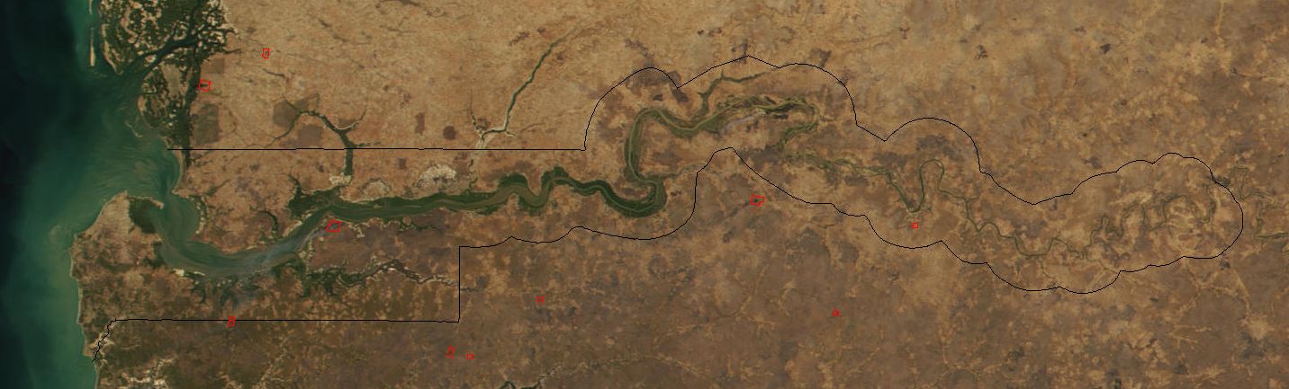
Image cropped to The Gambia.
The red dots sprinkled all across this true-color image show the locations of fires mostly located in the African savannas just south of the Sahel region. Many fires were burning in this region throughout February 2002. This scene was acquired by the Moderate-resolution Imaging Spectroradiometer (MODIS), flying aboard NASA's Terra satellite, on Feb. 15.
The red dots sprinkled all across this true-color image show the locations of fires mostly located in the African savannas just south of the Sahel region. Many fires were burning in this region throughout February 2002. This scene was acquired by the Moderate-resolution Imaging Spectroradiometer (MODIS), flying aboard NASA's Terra satellite, on Feb. 15.
Licence:
Public domain
Credit:
Cropped from: http://visibleearth.nasa.gov/view_rec.php?id=2521
Sdílet obrázek:


Relevantní obrázky


Relevantní články
Gambie (řeka)Gambie je významná řeka v západní Africe na území Guineje, Senegalu a Gambie. Je dlouhá 1 120 km. Povodí má rozlohu 180 000 km². .. pokračovat ve čtení