Ivory Coast March 2011 offensive map
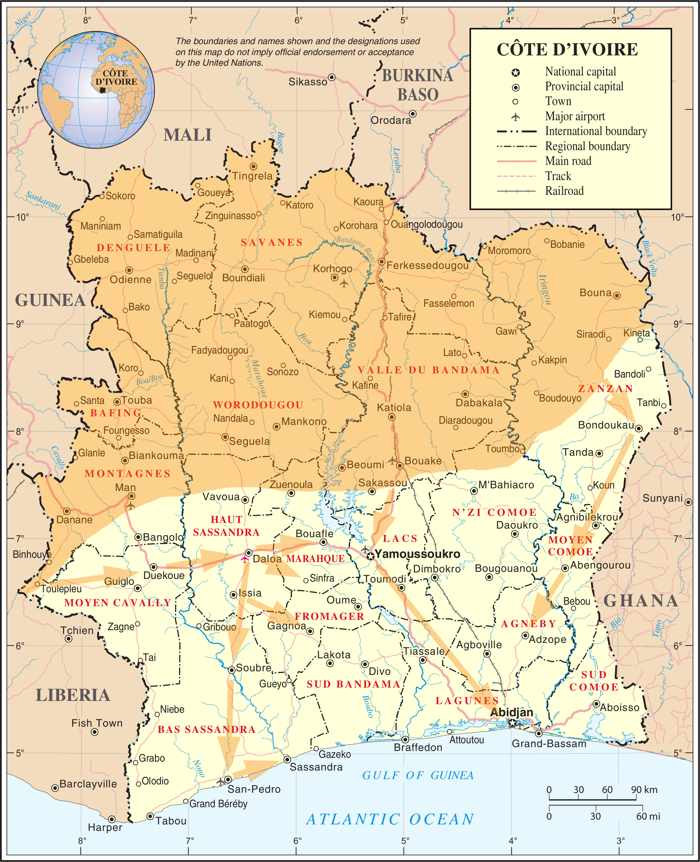
| This image is a map derived from a United Nations map.
Unless stated otherwise, UN maps are to be considered in the public domain. This applies worldwide. UN maps are, in principle, open source material and you can use them in your work or for making your own map. UN requests however that you delete the UN name, logo and reference number upon any modification to the map. Content of your map will be your responsibility. You can state in your publication, if you wish, something like: based on UN map … (map name, map number, revision number and date). See: Geospatial Information Section. And: Geospatial, location data for a better world. |
 |


Relevantní obrázky

Relevantní články
Druhá občanská válka v Pobřeží slonovinyDruhá občanská válka v Pobřeží slonoviny byl ozbrojený konflikt, který se odehrával ve dnech 28. listopadu 2010 – 11. dubna 2011. Jednalo se o střet mezi silami Laurenta Gbagba, který vládl Pobřeží slonoviny z pozice prezidenta v letech 2000–2010, a jeho nástupce Alassane Ouattary. .. pokračovat ve čtení