Kerala oli 201837 lrg February 6 2018

The Operational Land Imager (OLI) on the Landsat 8 satellite acquired the left image (bands 6-5-3) on February 6, 2018, before the flood. The Multispectral Instrument on the European Space Agency’s Sentinel-2 satellite acquired the right image (bands 11-8-3) on August 22, 2018, after flood water had inundated the area. The images are false-color, which makes flood water appear dark blue. Vegetation is bright green.
Several rivers throughout the region spilled over their banks. Water from the Karuvannur River ran through 40 villages, and washed away a 2.2 kilometer (1.4 mile) stretch of land connecting two national highways. Elevated water levels along the Periyar River displaced thousands of people.
NASA Earth Observatory images by Lauren Dauphin, using modified Copernicus Sentinel data (2018) processed by the European Space Agency and Landsat data from the U.S. Geological Survey.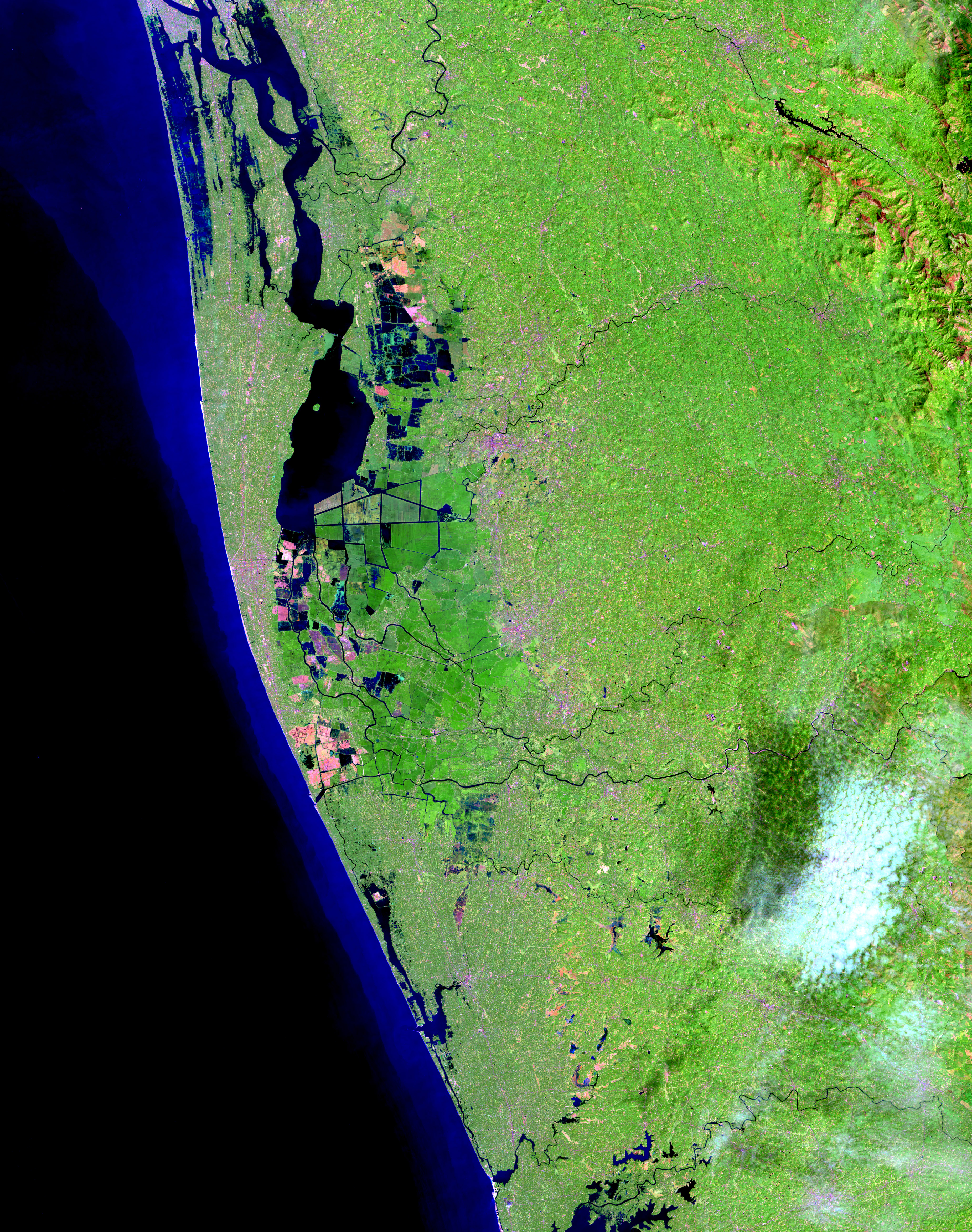


Relevantní obrázky
.svg)


Relevantní články
KéralaKérala je malý svazový stát v jihozápadní Indii. Na severu sousedí s Karnátakou, na východě s Tamilnádu a na západě omývají její břehy vody Arabského moře. .. pokračovat ve čtení