KielCanalView
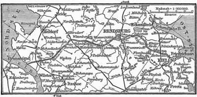
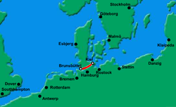
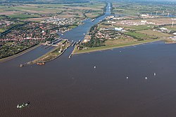
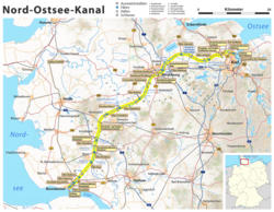
View of the en:Kiel Canal and surroundings (composite image). Taken several hours after after passage through the Elbe River locks at Brunsbüttel, the view is toward the West and the border between en:Germany and en:Denmark is in the distance to the right.
This is about one quarter of the way through a passage to the Baltic Sea at a widened area for passing. Shoreline bollards are to secure ships while awaiting clearance for passage. Ships are assigned points based on size and if the sum two ships' points exceeds a certain limit they are not allowed to pass or overtake while both are free to maneuver - one must tie up.
Photos taken from the cruise ship M. V. Norwegian Dream from in the sports bar on the ship. June 2003 by en:User:Leonard G., who combined the images into a single panorama.
While most large, modern en:cruise ships cannot pass through this canal due to clearance limits under bridges, one medium sized ship, the M. V. Norwegian Dream has special funnels and masts that can be lowered for passage. A typical Baltic cruise for this ship is Dover england, through the Kiel Canal and across the Baltic to stops in Tallin (Estonia), St. Petersburg (Russia), Helsinki (Finland), Stockhom (Sweden), Copenhagen (Denmark) and Oslo (Norway), returning to Dover via the North Sea. This route was discontinued in September, 2007.Relevantní obrázky
Relevantní články
Kielský průplavKielský průplav, stand. jménem Severomořsko-baltský průplav, známý do roku 1948 jako Průplav císaře Viléma, je 98 kilometrů dlouhý průplav v německé spolkové zemi Šlesvicko-Holštýnsko, který spojuje Severní moře u Brunsbüttelu s Baltským mořem u Kiel-Holtenau. Použití průplavu zkracuje cestu přibližně o 250 námořních mil proti trase kolem Jutského poloostrova. Přitom nejde jen o časovou úsporu, ale lodě se také vyhnou často velmi neklidnému moři. Podle údajů ze stránek průplavu se jedná o jednu z nejvytíženějších vodních cest světa. V roce 2007 ji využilo více než 43 000 lodí a v tom nejsou započítána malá plavidla. .. pokračovat ve čtení


