Mariana Islands - Farallon de Pajaros
Autor:
edited by M.Minderhoud
Shortlink:
Zdroj:
Formát:
829 x 538 Pixel (26761 Bytes)
Popis:
Mariana Islands - Farallon de Pajaros.PNG
Komentář k Licence:
This image is in the public domain because it came from the site https://www.demis.nl/products/web-map-server/examples/ and was released by the copyright holder. Permission is granted to copy, distribute and/or modify this map since it is based on free of copyright images from: www.demis.nl. See also approval email on de.wp and its clarification.
Licence:
Public domain
Credit:
own work based on PD map
Sdílet obrázek:


Relevantní obrázky


Relevantní články
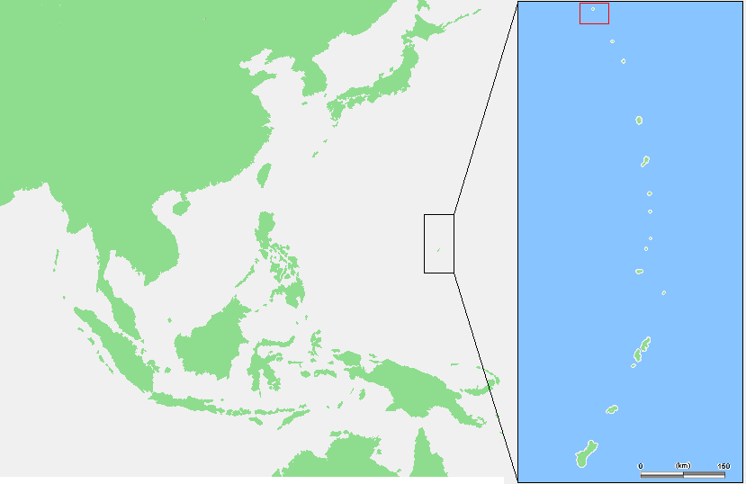
Farallon de PajarosFarallon de Pajaros, neoficiálně také Urracas je nejsevernější ostrov Marian. Tvoří ho vrchol stratovulkánu, je dlouhý 1800 metrů a široký 1600 metrů, nejvyšší bod dosahuje 360 metrů nad mořskou hladinou. Nežijí na něm žádní lidé. .. pokračovat ve čtení