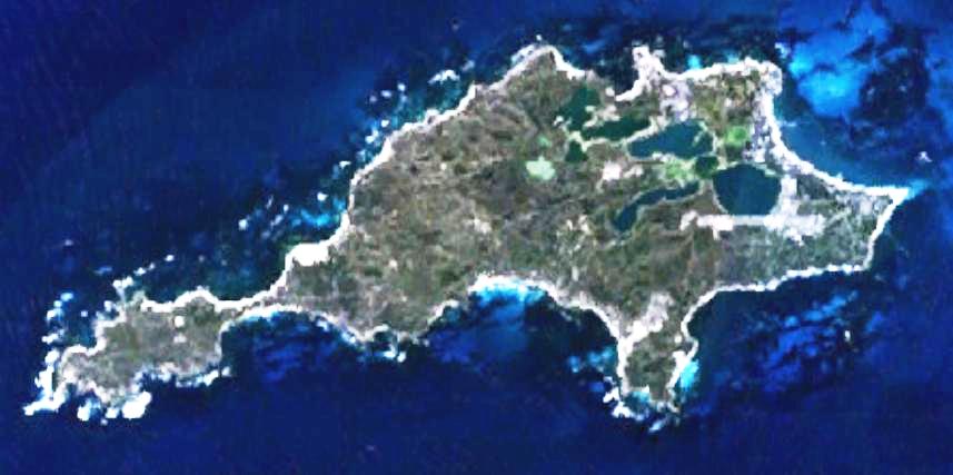
Rottnest Island
Autor:
Created by the uploader. Any IP involved in the creation of this image is released into the public domain.
Shortlink:
Zdroj:
Formát:
857 x 427 Pixel (47869 Bytes)
Popis:
This is a map of the Rottnest Island, Western Australia.
Komentář k Licence:
| This image is in the public domain because it is a screenshot from NASA’s globe software World Wind using a public domain layer, such as Blue Marble, MODIS, Landsat, SRTM, USGS or GLOBE.
|
 |
Licence:
Public domain
Credit:
It was made by the uploader using NASA World Wind using Landsat 7 data.
Sdílet obrázek:


Relevantní obrázky
.svg)

Relevantní články
RottnestRottnest je ostrov v Indickém oceánu nedaleko pobřeží Austrálie. Leží západně od Perthu v Západní Austrálii. Nejbližší pevnina je 18 km od města Fremantlu. Ostrov je 11 km dlouhý a místy 4,5 km široký. .. pokračovat ve čtení