Tatry mapa 2
Autor:
Shortlink:
Zdroj:
Formát:
811 x 401 Pixel (305387 Bytes)
Popis:
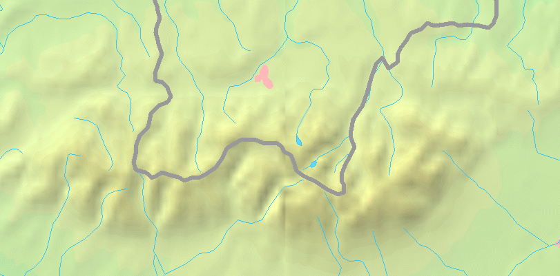
Map of the Tatra Mountains
Komentář k Licence:
This image is in the public domain because it came from the site https://www.demis.nl/products/web-map-server/examples/ and was released by the copyright holder. Permission is granted to copy, distribute and/or modify this map since it is based on free of copyright images from: www.demis.nl. See also approval email on de.wp and its clarification.
Licence:
Public domain
Credit:
PD map from Demis - modified version of Image:Tatry mapa.png by User:Botev
Sdílet obrázek:


Relevantní obrázky


Relevantní články
Dolina Zeleného plesaDolina Zeleného plesa je údolí ve slovenské části Vysokých Tater. Je západní větví Doliny Kežmarské Bílé vody. Protéká jí Zelený potok. .. pokračovat ve čtení