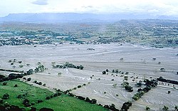
MSH80 mudline muddy river with USGS scientist 10-23-80
Autor:
Lyn Topinka, USGS
Shortlink:
Zdroj:
Formát:
2904 x 1947 Pixel (2770533 Bytes)
Popis:
(copied description from USGS site): Nearly 135 miles (220 kilometers) of river channels surrounding the volcano [Mt. St. Helens] were affected by the lahars of May 18, 1980. A mudline left behind on trees shows depths reached by the mud. A scientist (middle right) gives scale. This view is along the Muddy River, southeast of Mount St. Helens.
Licence:
Public domain
Relevantní obrázky
Relevantní články
LaharLahar, někdy i sopečný bahnotok, je doprovodný jev při některých sopečných erupcích. Jedná se o velmi rychle tekoucí směs sopečného popela, úlomků ztuhlé lávy a velkého množství vody. .. pokračovat ve čtení


